
4 hikes that anyone can enjoy: The Ireland edition
The perfect guide for any beginner hiker
I like hiking when I’m travelling. A few hours outside, a beautiful view, a trail through the countryside and the feeling that I’ve seen a part of a destination I simply wouldn’t have experienced from the car. But i’m not the person who walks 20 kilometeres before breakfast… That was exactly how we approached hiking during our road trip around Ireland. Driving around the entire island, including Northern Ireland, and whenever we had the chance, we put on our walking shoes and headed out.
The 4 hikes we did in Ireland :
Our alternative to the famous cliff walk
Bray Head
-
- Distance we walked: 8.3 km
- Location: Bray, County Wicklow
- Difficulty for us: Moderate
- Type: Coastal and countryside loop
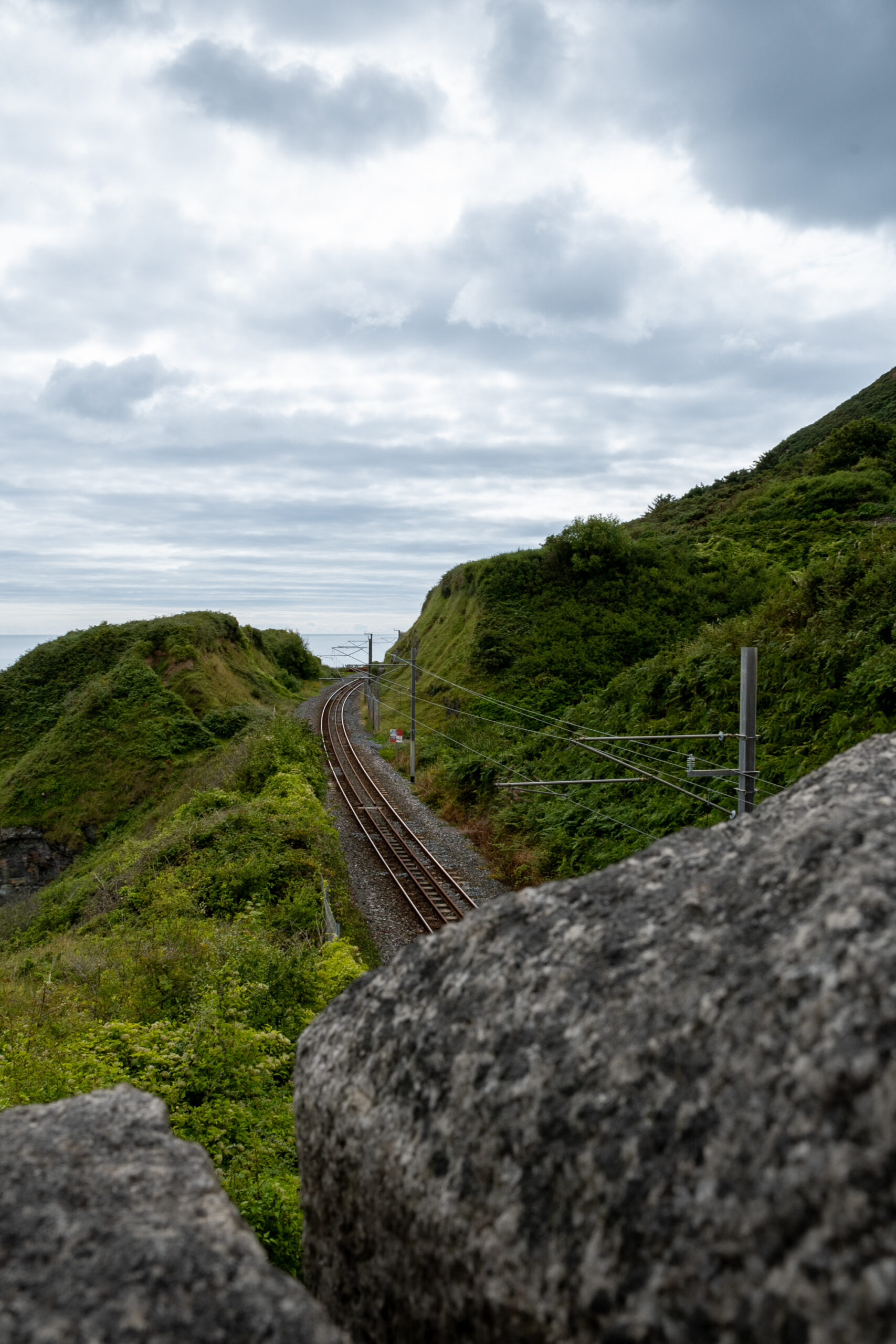
If, like us, you’re heading to Bray to do the Greystones Cliff Walk, you’ll probably see a big sign and gate telling you that the hike is closed… Falling rocks! And yes, the closure is still in place in 2026. So rather than skipping this hike, we decided to find another way to walk around Bray Head, 8.3km to be exact.
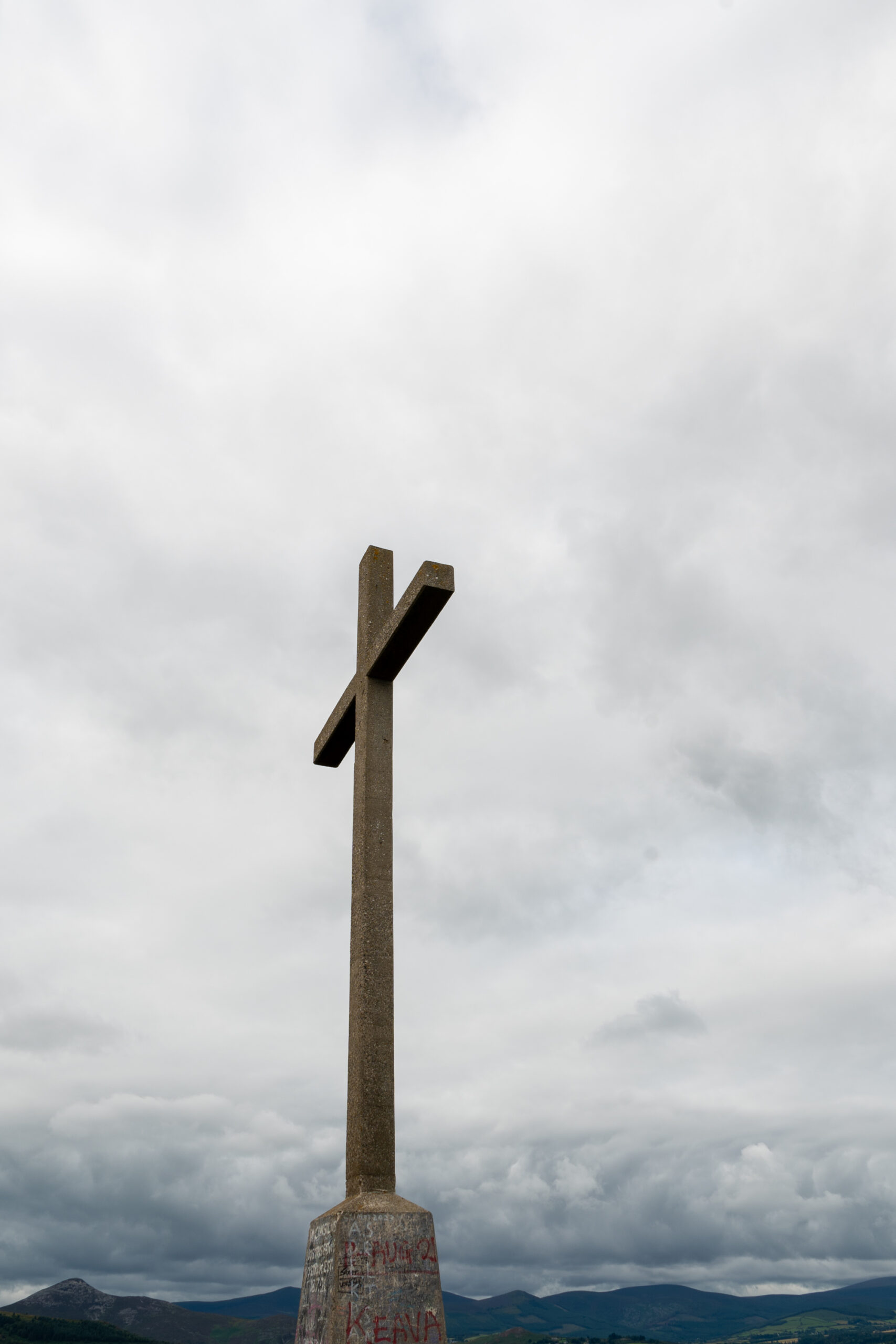
We started in Bray and made our way inland, and up a somewhat steep hill filled with tree roots. Don’t worry, this is the hardest part of the hike! When you reach the cross at the top of the hill, you can start enjoying the view and the rest of the walk.
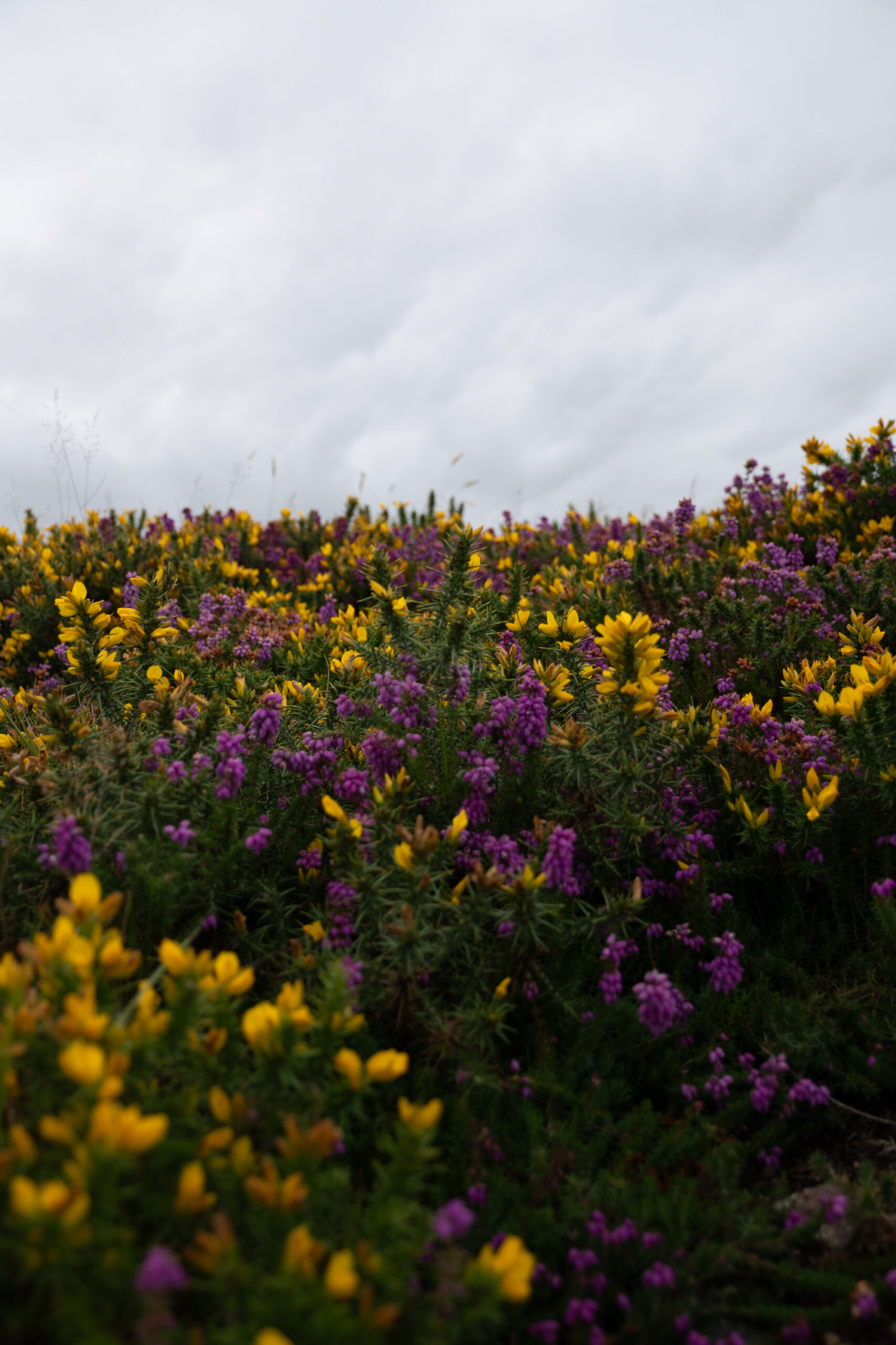
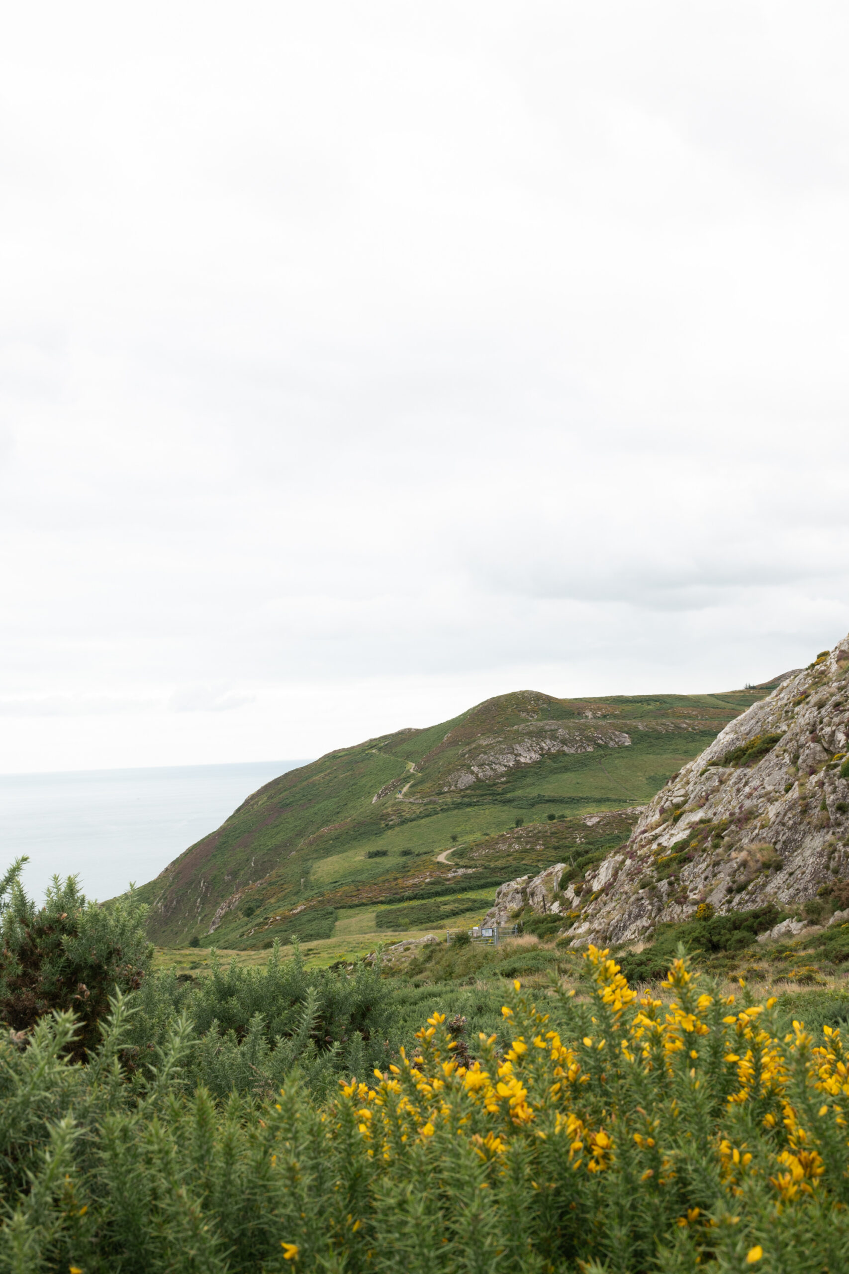
The trail starting from that hill, took us through the countryside, with fields of flowers, horses grazing and views opening up towards the coast, going up and down very slowly. Eventually, we followed the coastline towards Windgate before making our way back towards Newcourt Road and completing our loop.
A longer coastal walk worth the extra kilometres
Howth: Bog of Frogs Loop
-
- Distance: 12 km
- Route: Bog of Frogs Loop / Purple Route
- Location: Howth, Dublin
- Difficulty for us: Moderate to challenging
- Type: Coastal and countryside loop
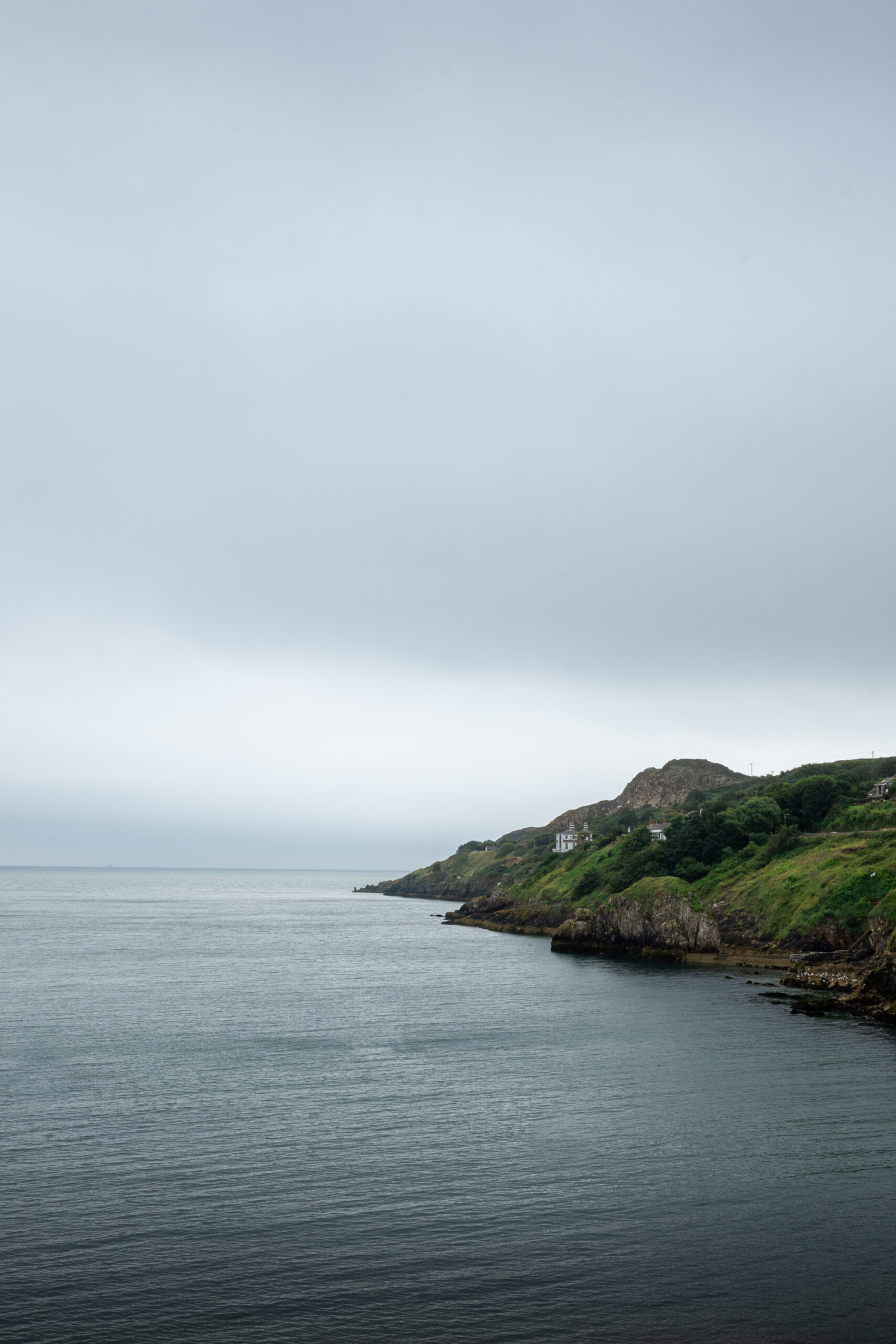
Howth was one of my favourite hikes from our Ireland roadtrip. The official Bog of Frogs Loop is around 12.1 km and follows the purple arrows, starting and finishing around Howth. The route combines cliffs, coastal paths, woodland, countryside and even a golf course, Mind your head!
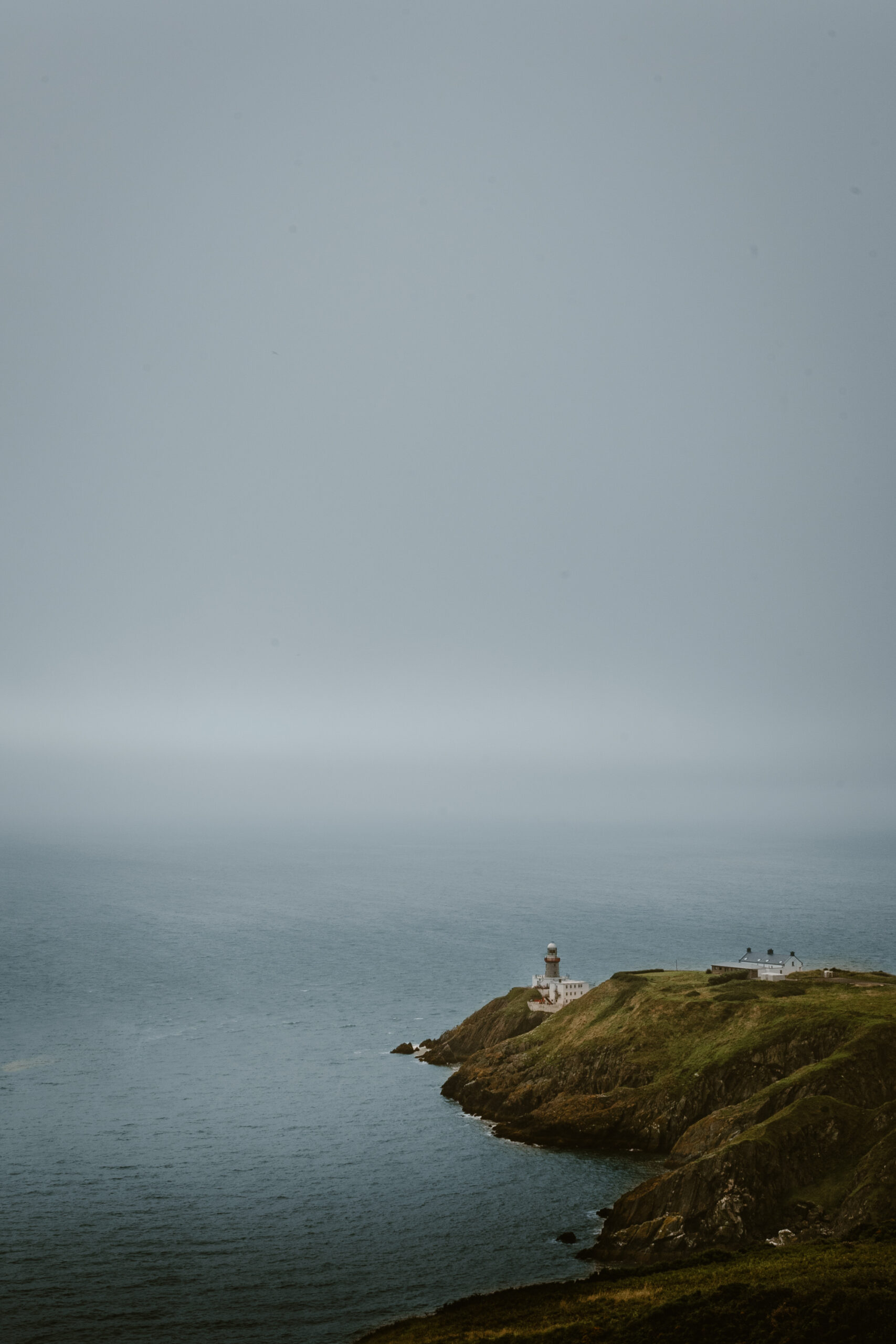
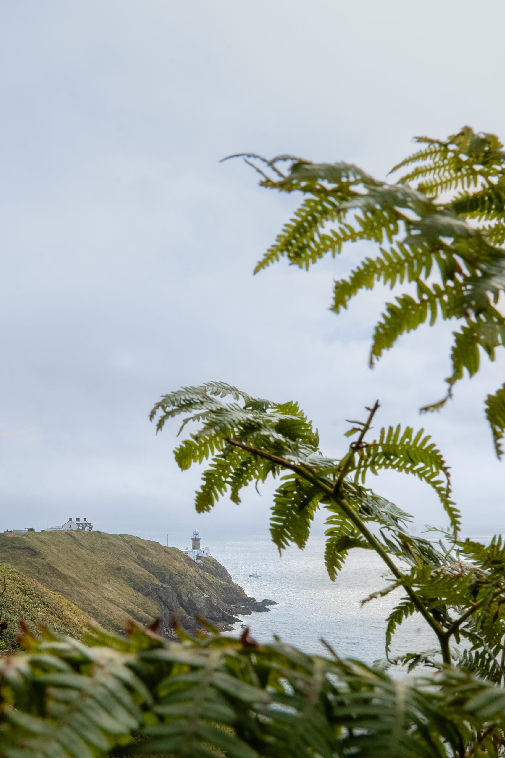
For us the hike started with dramatic grey skies, making it almost impressive walking along the coast with the sea below us. A lot of people seem to choose the shorter walk towards Baily Lighthouse and back. The hike we did, was much more quiet, and easy going. Some of my favourite views were actually further along the route, away from the busiest sections around the lighthouse. The lighthouse was fantastic to see from a distance, sitting dramatically on the rocks beside the sea.
The official route describes around 6 kilometres of cliff walking before turning inland, eventually passing through the Bog of Frogs area and returning towards Howth. The only thing challenging about this hike is probably the length for beginner hikers. But if you can take the day for it, bring some lunch and something to drink, I would definitely recommend it !
A short walk with a very Irish setting
Fair Head
-
- Distance: 2.5 km
- Location: Fair Head, County Antrim, Northern Ireland
- Difficulty for us: Easy
- Type: Clifftop countryside walk
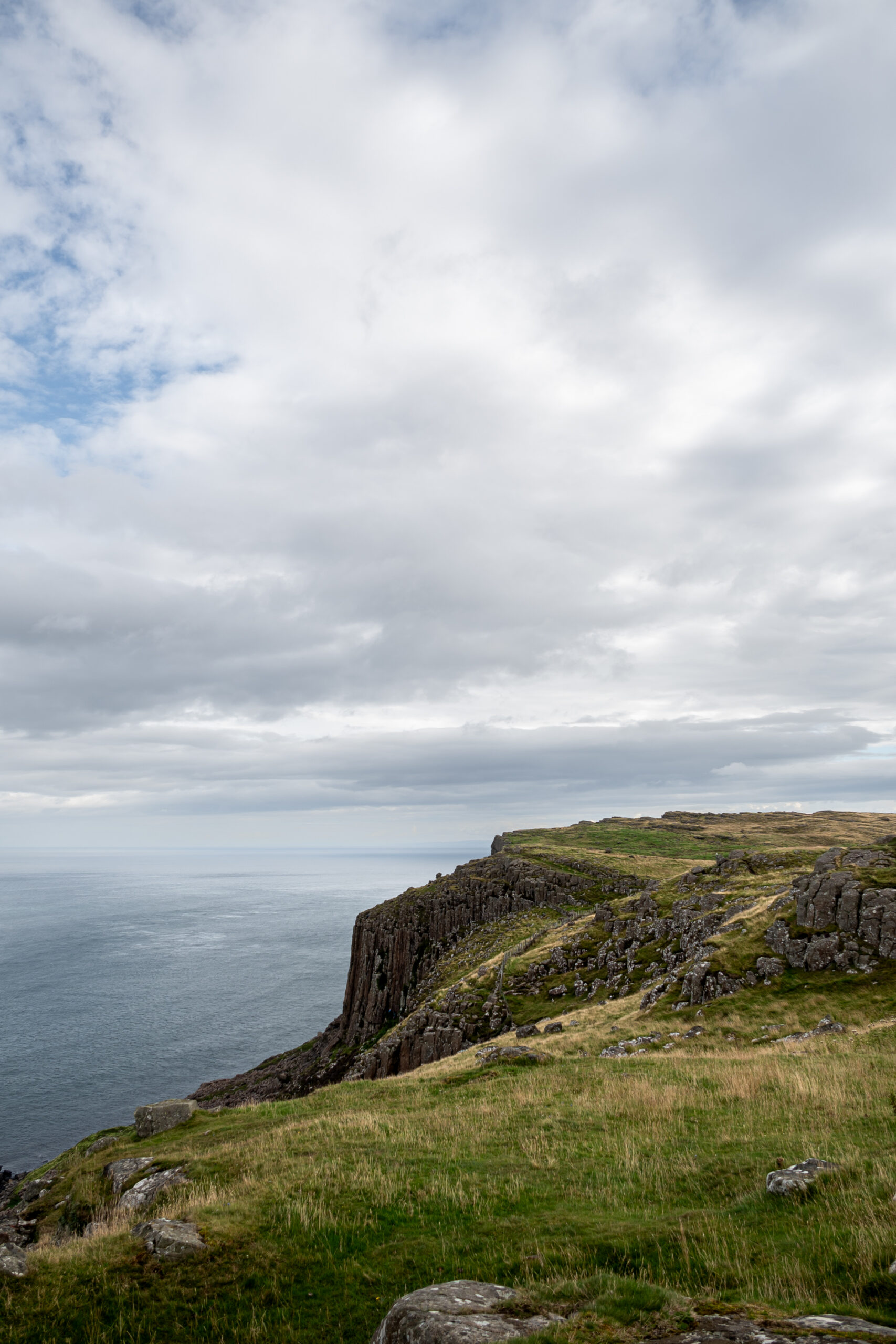
If you’re looking for a short walk through open countryside and cliffs waiting ahead, this hike is for you. The Fair Head walk takes you towards the cliffs, with beautiful views across the surrounding landscape.
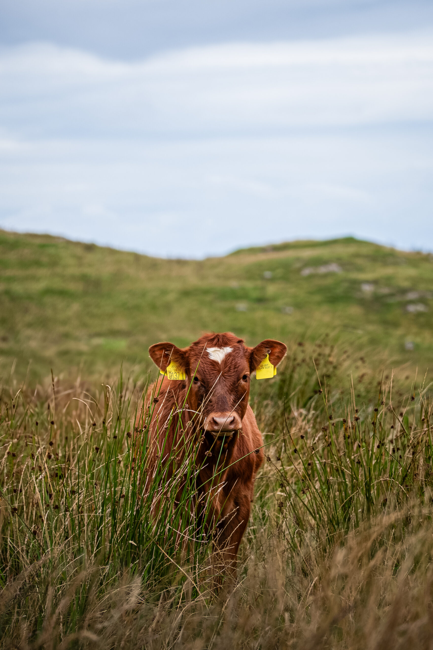
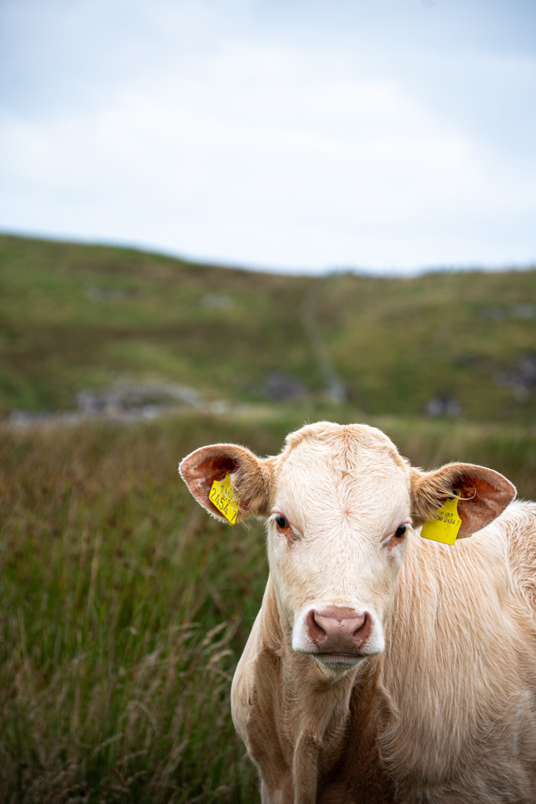
The route crosses farmland, so you need to use the stairs to go over the gates from the parking lot to start the trail. No need to worry about the fencing, or the cows. Lots of cows. They looked rather intimidating when we first saw them standing around the trail, but they were very calm.
A proper Irish
experience
Fair Head itself is famous for its dramatic volcanic rock formations. The enormous basalt columns, sometimes compared with organ pipes, were formed by volcanic activity and rise dramatically along the coast.
Beautiful in theory, not quite our day
Diamond Hill
-
- Distance: 3 km (Lower section)
- Location: Connemara National Park
- Difficulty for us: Easy
- Starting point: Connemara National Park Visitor Centre
Diamond Hill is the one hike on this list where I have to admit that our experience wasn’t exactly what I had hoped for. We planned to do the full Diamond Hill trail towards the 445-metre summit, with the complete Lower and Upper circuit measuring around 7 km and taking approximately 2.5 to 3 hours.
But we never made it that far. The reason? Irish weather, RAIN ! We started the walk and, only a few hundred metres in, the rain started pouring. Not a little Irish drizzle. Proper rain. We had rain cloths, but it didn’t take long before we were completely soaked. By the time we reached the point where we would have continued towards the upper section, we were already soaked, so we decided to keep it to the Lower circuit.
Having returned to our car, we were almost the only ones there. We stood by the car trying to squeeze ourselves out of our soaking wet clothes… So I have to be fair when talking about Diamond Hill, our opinion is heavily influenced by the weather.
On a clear day, the summit is supposed to offer panoramic views across Connemara. But when we headed out, the clouds were already low and the visibility was poor, grey all around us… The full route is also considerably more demanding than the other walks in this article. The Upper Trail involves climbing towards the summit, so I wouldn’t put it in the same category as the short Fair Head walk.